Earthquake Central Alaska
Sat, 14 Feb 2026 05:40:02 GMT
Time4 days ago
Location
63.1473, -150.5015
Depth
113.8 KM
Event Summary
A 2.1 magnitude earthquake struck on Central Alaska, at Sat, 14 Feb 2026 05:40:02 GMT. Depth: 113.76953125km. Reviewed by VYT seismologists, this minor quake occurred at a magnitude type of earthquake.
Magnitude
2.1
earthquake
Source
VYT
Intensity
-
Agency Reports
2 Sources| Source | Magnitude | Depth | Time |
|---|---|---|---|
| VYTPrimary | 2.1 | 114 km | 4 days ago |
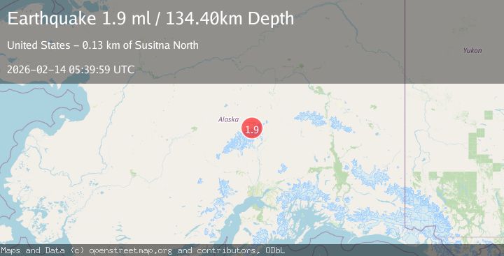
| USGS | 1.9 | 134 km | 4 days ago |
Earthquake Details
AutomaticEvent IDvyt_etba19du44pf
Tsunami PotentialNo
Magnitude Typeearthquake
Nearest Places
- Mount Deception1.9 km
- Brooks Glacier5.1 km
- Wedge Peak6.2 km
- Mount Mather6.2 km
- Ragged Peak6.4 km
Comments
Join the discussion about this event.
Latest Earthquakes
2.3Mag
Sumbawa region, Indonesia
Time10 hours ago
Depth111.45 km
SourceVYT (Automatic)
2.3Mag
NORTHERN CALIFORNIA
Time10 hours ago
Depth2.90 km
SourceNC (Automatic)
2.6Mag
Northern Sumatra, Indonesia
Time10 hours ago
Depth12.27 km
SourceBMKG
0.7Mag
30 km SSE of Knik River, Alaska
Time10 hours ago
Depth7.80 km
SourceUSGS (Automatic)
2.4Mag
Poland
Time10 hours ago
Depth6.10 km
SourceVYT (Automatic)
Nearby Earthquakes
2.3Mag
75 km NNE of Petersville, Alaska
Time2 weeks ago
Depth113.80 km
SourceUSGS (Automatic)
1.7Mag
72 km NNE of Petersville, Alaska
Time2 weeks ago
Depth112.20 km
SourceUSGS (Automatic)
4.0Mag
CENTRAL ALASKA
Time1 year ago
Depth107.40 km
SourceEMSC (Automatic)
3.0Mag
CENTRAL ALASKA
Time4 years ago
Depth118.00 km
SourceNEIC (Automatic)
2.0Mag
Central Alaska
Time1 day ago
Depth113.65 km
SourceVYT (Automatic)