Earthquake Central Alaska
Tue, 17 Feb 2026 08:09:13 GMT
Time1 day ago
Location
63.1607, -150.4034
Depth
113.6 KM
Event Summary
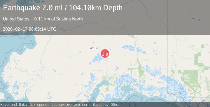
A 2.0 magnitude earthquake struck on Central Alaska, at Tue, 17 Feb 2026 08:09:13 GMT. Depth: 113.6474609375km. Reviewed by VYT seismologists, this minor quake occurred at a magnitude type of earthquake.
Magnitude
2.0
earthquake
Source
VYT
Intensity
-
Agency Reports
2 Sources| Source | Magnitude | Depth | Time |
|---|---|---|---|
| VYTPrimary | 1.8 | 114 km | 1 day ago |
| USGS | 2.0 | 104 km | 1 day ago |
Earthquake Details
AutomaticEvent IDvyt_mzyqdo7jiibs
Tsunami PotentialNo
Magnitude Typeearthquake
Nearest Places
- Mount Eldridge4.1 km
- Mount Mather4.1 km
- Mount Deception6.4 km
- Wedge Peak7.1 km
- Ragged Peak8.5 km
Comments
Join the discussion about this event.
Latest Earthquakes
1.0Mag
Southeastern Alaska
Time2 minutes ago
Depth0.00 km
SourceVYT (Automatic)
3.5Mag
COOK STRAIT, NEW ZEALAND
Time3 minutes ago
Depth75.30 km
SourceGNS (Automatic)
2.4Mag
Seram, Indonesia
Time4 minutes ago
Depth18.42 km
SourceBMKG
2.6Mag
West Papua Region, Indonesia
Time7 minutes ago
Depth17.35 km
SourceBMKG
2.8Mag
Antofagasta, Chile
Time11 minutes ago
Depth0.00 km
SourceVYT (Automatic)
Nearby Earthquakes
3.0Mag
CENTRAL ALASKA
Time11 years ago
Depth100.00 km
SourceNEIR (Automatic)
3.0Mag
CENTRAL ALASKA
Time3 years ago
Depth113.00 km
SourceNEIC (Automatic)
4.0Mag
CENTRAL ALASKA
Time1 year ago
Depth107.40 km
SourceEMSC (Automatic)
2.3Mag
75 km NNE of Petersville, Alaska
Time2 weeks ago
Depth113.80 km
SourceUSGS (Automatic)
1.7Mag
72 km NNE of Petersville, Alaska
Time2 weeks ago
Depth112.20 km
SourceUSGS (Automatic)