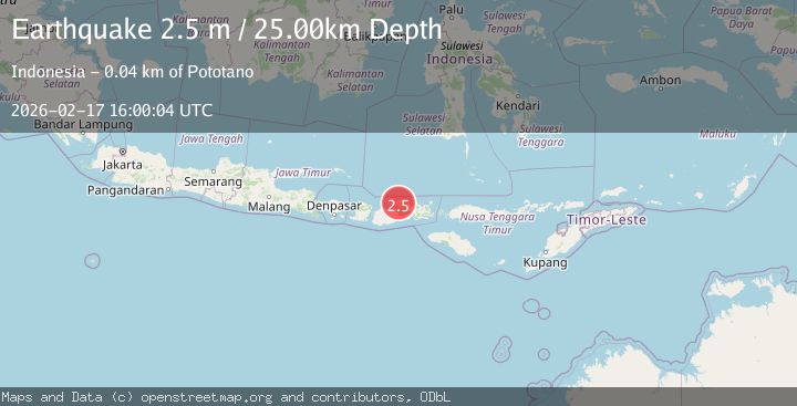
Earthquake Sumbawa region, Indonesia
Tue, 17 Feb 2026 15:59:56 GMT
Time20 hours ago
Location
-8.1761, 117.5370
Depth
134.2 KM
Event Summary
A 2.7 magnitude earthquake struck on Sumbawa region, Indonesia, at Tue, 17 Feb 2026 15:59:56 GMT. Depth: 134.1552734375km. Reviewed by VYT seismologists, this minor quake occurred at a magnitude type of earthquake.
Magnitude
2.7
earthquake
Source
VYT
Intensity
-
Agency Reports
1 Sources| Source | Magnitude | Depth | Time |
|---|---|---|---|
| VYTPrimary | 2.7 | 134 km | 20 hours ago |
Earthquake Details
AutomaticEvent IDvyt_qdl1dpy3hcox
Tsunami PotentialNo
Magnitude Typeearthquake
Nearest Places
- Tanjung Sajelek4.7 km
- Tanjung Sebaru5.9 km
- Labuhanhaji6.5 km
- Brang Rea7.0 km
- Labuhanaji7.3 km
Comments
Join the discussion about this event.
Latest Earthquakes
2.3Mag
Java, Indonesia
Time20 hours ago
Depth50.71 km
SourceBMKG
1.5Mag
Southern Alaska
Time20 hours ago
Depth67.26 km
SourceVYT (Automatic)
2.4Mag
Northern Sumatra, Indonesia
Time20 hours ago
Depth12.76 km
SourceBMKG
1.2Mag
10 km NW of The Geysers, CA
Time20 hours ago
Depth1.41 km
SourceUSGS (Automatic)
1.0Mag
Southern Alaska
Time20 hours ago
Depth14.53 km
SourceVYT (Automatic)
Nearby Earthquakes
5.4Mag
SUMBAWA REGION, INDONESIA
Time11 years ago
Depth230.00 km
SourceEMSC (Automatic)
3.0Mag
SUMBAWA REGION, INDONESIA
Time2 years ago
Depth10.00 km
SourceBMKG (Automatic)
3.0Mag
SUMBAWA REGION, INDONESIA
Time2 years ago
Depth13.00 km
SourceBMKG (Automatic)
2.1Mag
Sumbawa Region, Indonesia
Time4 days ago
Depth10.00 km
SourceBMKG
5.2Mag
SUMBAWA REGION, INDONESIA
Time9 years ago
Depth224.00 km
SourceEMSC (Automatic)