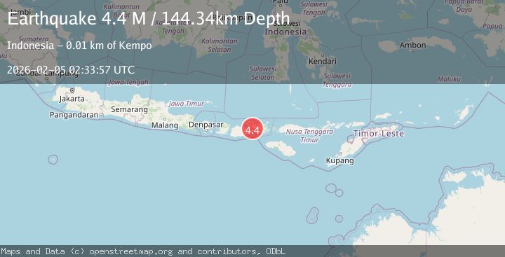
Earthquake Bali Sea
Thu, 05 Feb 2026 01:57:56 GMT
Time3 hours ago
Location
-7.8022, 117.8202
Depth
10.0 KM
Event Summary
A 2.0 magnitude earthquake struck on Bali Sea, at Thu, 05 Feb 2026 01:57:56 GMT. Depth: 10km. Reviewed by BMKG seismologists, this minor quake occurred at a magnitude type of M.
Magnitude
2.0
M
Source
BMKG
Intensity
-
Agency Reports
1 Sources| Source | Magnitude | Depth | Time |
|---|---|---|---|
| BMKGPrimary | 2.0 | 10 km | 3 hours ago |
Earthquake Details
AutomaticEvent IDbmg2026cmcm
Tsunami PotentialNo
Magnitude TypeM
Nearest Places
- Pulau Satunggul30.7 km
- Tanjung Pakijangan33.6 km
- Satonda Peak34.4 km
- Karang Satunggul34.5 km
- Pulau Satonda35.0 km
Comments
Join the discussion about this event.
Latest Earthquakes
2.3Mag
57 km NE of Chenega, Alaska
Time3 hours ago
Depth19.80 km
SourceUSGS (Automatic)
1.4Mag
11 km SSW of San Lucas, CA
Time3 hours ago
Depth7.19 km
SourceUSGS (Automatic)
2.0Mag
121 km WNW of Yakutat, Alaska
Time3 hours ago
Depth16.20 km
SourceUSGS (Automatic)
2.5Mag
Near North Coast of West Papua
Time3 hours ago
Depth10.00 km
SourceBMKG (Automatic)
2.4Mag
13 km W of Kenai, Alaska
Time3 hours ago
Depth69.00 km
SourceUSGS (Automatic)
Nearby Earthquakes
2.5Mag
Bali Sea
Time6 days ago
Depth10.00 km
SourceBMKG (Automatic)
2.2Mag
Bali Sea
Time13 hours ago
Depth21.03 km
SourceBMKG (Automatic)
2.5Mag
Bali Sea
Time5 days ago
Depth15.24 km
SourceBMKG (Automatic)
2.3Mag
Bali Sea
Time1 week ago
Depth13.31 km
SourceBMKG (Automatic)
2.1Mag
Sumbawa Region, Indonesia
Time6 days ago
Depth13.99 km
SourceBMKG (Automatic)