Earthquake Near North Coast of West Papua
Thu, 05 Feb 2026 06:59:54 GMT
Time2 hours ago
Location
-2.2533, 140.5869
Depth
10.0 KM
Event Summary
A 2.2 magnitude earthquake struck on Near North Coast of West Papua, at Thu, 05 Feb 2026 06:59:54 GMT. Depth: 10km. Reviewed by BMKG seismologists, this minor quake occurred at a magnitude type of M.
Magnitude
2.2
M
Source
BMKG
Intensity
-
Agency Reports
1 Sources| Source | Magnitude | Depth | Time |
|---|---|---|---|
| BMKGPrimary | 2.2 | 10 km | 2 hours ago |
Earthquake Details
AutomaticEvent IDbmg2026cmmn
Tsunami PotentialNo
Magnitude TypeM
Nearest Places
- Tanjung Ormu21.0 km
- Teluk Torare21.3 km
- Naikoe22.4 km
- Wari22.9 km
- Sapari24.4 km
Comments
Join the discussion about this event.
Latest Earthquakes
0.8Mag
8 km W of Cobb, CA
Time1 hour ago
Depth1.89 km
SourceUSGS (Automatic)
1.4Mag
13 km N of Borrego Springs, CA
Time2 hours ago
Depth10.87 km
SourceUSGS (Automatic)
2.6Mag
Northern Sumatra, Indonesia
Time2 hours ago
Depth138.44 km
SourceBMKG (Automatic)
3.0Mag
PAPUA, INDONESIA
Time2 hours ago
Depth16.00 km
SourceBMKG (Automatic)
0.7Mag
3 km NW of Loma Linda, CA
Time2 hours ago
Depth3.98 km
SourceUSGS (Automatic)
Nearby Earthquakes
2.1Mag
Near North Coast of West Papua
Time1 week ago
Depth10.00 km
SourceBMKG (Automatic)
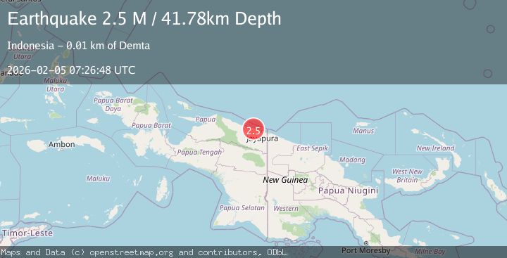
2.5Mag
Near North Coast of West Papua
Time1 week ago
Depth10.00 km
SourceBMKG (Automatic)
2.5Mag
Near North Coast of West Papua
Time1 week ago
Depth10.00 km
SourceBMKG (Automatic)
2.8Mag
Near North Coast of West Papua
Time1 week ago
Depth12.25 km
SourceBMKG (Automatic)
2.8Mag
Near North Coast of West Papua
Time1 week ago
Depth10.00 km
SourceBMKG (Automatic)