Earthquake West Papua Region, Indonesia
Sat, 07 Feb 2026 21:54:03 GMT
Time1 hour ago
Location
-0.8330, 133.2893
Depth
12.7 KM
Event Summary
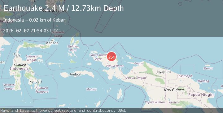
A 2.4 magnitude earthquake struck on West Papua Region, Indonesia, at Sat, 07 Feb 2026 21:54:03 GMT. Depth: 12.728885km. Reviewed by BMKG seismologists, this minor quake occurred at a magnitude type of M.
Magnitude
2.4
M
Source
BMKG
Intensity
-
Agency Reports
1 Sources| Source | Magnitude | Depth | Time |
|---|---|---|---|
| BMKGPrimary | 2.4 | 13 km | 1 hour ago |
Earthquake Details
AutomaticEvent IDbmg2026crgz
Tsunami PotentialNo
Magnitude TypeM
Nearest Places
- Sungai Anita2.2 km
- Barasowi3.1 km
- Kampung Barona4.2 km
- Kampung Kasi Inom4.7 km
- Sungai Asimi5.2 km
Comments
Join the discussion about this event.
Latest Earthquakes
3.5Mag
West Papua Region, Indonesia
Time10 minutes ago
Depth60.58 km
SourceBMKG (Automatic)
1.9Mag
STRAIT OF GIBRALTAR
Time15 minutes ago
Depth19.40 km
SourceIGN (Automatic)
2.4Mag
Sulawesi, Indonesia
Time20 minutes ago
Depth10.00 km
SourceBMKG (Automatic)
2.0Mag
2 km E of The Geysers, CA
Time27 minutes ago
Depth1.83 km
SourceUSGS (Automatic)
3.3Mag
Southern Sumatra, Indonesia
Time35 minutes ago
Depth14.52 km
SourceBMKG (Automatic)
Nearby Earthquakes
2.1Mag
West Papua Region, Indonesia
Time1 day ago
Depth6.00 km
SourceBMKG (Automatic)
2.1Mag
West Papua Region, Indonesia
Time2 weeks ago
Depth14.74 km
SourceBMKG (Automatic)
2.4Mag
West Papua Region, Indonesia
Time1 week ago
Depth10.00 km
SourceBMKG (Automatic)
2.6Mag
West Papua Region, Indonesia
Time1 week ago
Depth10.93 km
SourceBMKG (Automatic)
2.1Mag
West Papua Region, Indonesia
Time2 weeks ago
Depth38.83 km
SourceBMKG (Automatic)