Earthquake Northern Molucca Sea
Mon, 09 Feb 2026 07:01:17 GMT
Time1 hour ago
Location
2.0445, 126.7332
Depth
11.0 KM
Event Summary
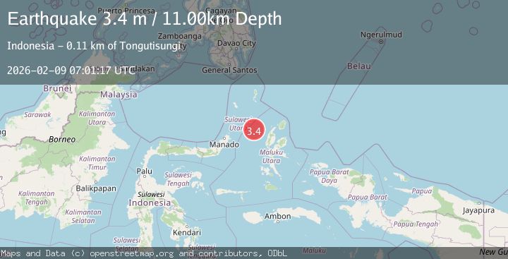
A 3.4 magnitude earthquake struck on Northern Molucca Sea, at Mon, 09 Feb 2026 07:01:17 GMT. Depth: 10.952668km. Reviewed by BMKG seismologists, this minor quake occurred at a magnitude type of M.
Magnitude
3.4
M
Source
BMKG
Intensity
-
Agency Reports
1 Sources| Source | Magnitude | Depth | Time |
|---|---|---|---|
| BMKGPrimary | 3.4 | 11 km | 1 hour ago |
Earthquake Details
AutomaticEvent IDbmg2026ctun
Tsunami PotentialNo
Magnitude TypeM
Nearest Places
- Nyi70.4 km
- Kelurahan Bido87.6 km
- Kelurahan Mayau88.3 km
- Pulau Mayu88.7 km
- Kecamatan Pulau Batang Dua89.0 km
Comments
Join the discussion about this event.
Latest Earthquakes
2.7Mag
Sulawesi, Indonesia
Time1 hour ago
Depth10.00 km
SourceBMKG (Automatic)
1.5Mag
6 km ENE of San Simeon, CA
Time1 hour ago
Depth5.20 km
SourceUSGS (Automatic)
2.0Mag
62 km N of Petersville, Alaska
Time1 hour ago
Depth121.00 km
SourceUSGS (Automatic)
2.3Mag
Bali Sea
Time2 hours ago
Depth10.90 km
SourceBMKG (Automatic)
3.0Mag
OFFSHORE EL SALVADOR
Time2 hours ago
Depth26.00 km
SourceINET (Automatic)
Nearby Earthquakes
3.5Mag
Northern Molucca Sea
Time2 weeks ago
Depth17.49 km
SourceBMKG (Automatic)
2.7Mag
Northern Molucca Sea
Time2 days ago
Depth71.71 km
SourceBMKG (Automatic)
2.9Mag
Northern Molucca Sea
Time6 days ago
Depth24.83 km
SourceBMKG (Automatic)
3.8Mag
Northern Molucca Sea
Time1 week ago
Depth106.66 km
SourceBMKG (Automatic)
3.8Mag
Northern Molucca Sea
Time1 week ago
Depth10.00 km
SourceBMKG (Automatic)