Earthquake SOUTHEASTERN ALASKA
Mon, 26 Jan 2026 03:27:52 GMT
Time1 day ago
Location
59.9590, -140.7110
Depth
6.7 KM
Event Summary
A 3.2 magnitude earthquake struck on SOUTHEASTERN ALASKA, at Mon, 26 Jan 2026 03:27:52 GMT. Depth: 6.7km. Reviewed by AK seismologists, this minor quake occurred at a magnitude type of ml.
Magnitude
3.2
ml
Source
AK
Intensity
-
Agency Reports
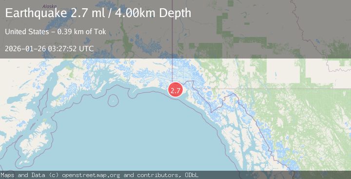
2 Sources| Source | Magnitude | Depth | Time |
|---|---|---|---|
| AKPrimary | 3.2 | 7 km | 1 day ago |
| USGS | 2.7 | 4 km | 1 day ago |
Earthquake Details
AutomaticEvent IDemsc_AK_20260126_0000058
Tsunami PotentialNo
Magnitude Typeml
Nearest Places
- Malaspina Glacier9.0 km
- Moore Nunatak17.5 km
- Oily Lake18.5 km
- Samovar Hills21.9 km
- Crater Lake22.3 km
Comments
Join the discussion about this event.
Latest Earthquakes
2.6Mag
Minahassa Peninsula, Sulawesi
Time3 minutes ago
Depth10.00 km
SourceBMKG (Automatic)
1.1Mag
30 km NE of Los Alamos, CA
Time13 minutes ago
Depth4.17 km
SourceUSGS (Automatic)
1.2Mag
EASTERN TURKEY
Time13 minutes ago
Depth7.00 km
SourceAFAD (Automatic)
2.6Mag
Timor Region
Time16 minutes ago
Depth35.26 km
SourceBMKG (Automatic)
2.3Mag
Sumbawa Region, Indonesia
Time16 minutes ago
Depth10.00 km
SourceBMKG (Automatic)
Nearby Earthquakes
2.6Mag
96 km WNW of Yakutat, Alaska
Time5 days ago
Depth4.10 km
SourceUSGS (Automatic)
1.6Mag
102 km NW of Yakutat, Alaska
Time1 day ago
Depth15.10 km
SourceUSGS (Automatic)
2.2Mag
110 km NW of Yakutat, Alaska
Time3 days ago
Depth16.90 km
SourceUSGS (Automatic)
2.1Mag
111 km WNW of Yakutat, Alaska
Time3 days ago
Depth8.00 km
SourceUSGS (Automatic)
0.8Mag
120 km NW of Yakutat, Alaska
Time3 days ago
Depth5.00 km
SourceUSGS (Automatic)