Earthquake 120 km NW of Yakutat, Alaska
Fri, 23 Jan 2026 19:08:16 GMT
Time3 days ago
Location
60.2810, -141.3100
Depth
5.0 KM
Event Summary
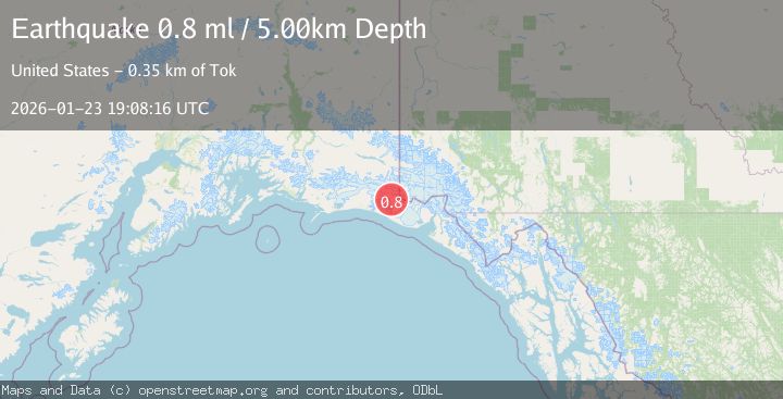
A 0.8 magnitude earthquake struck on 120 km NW of Yakutat, Alaska, at Fri, 23 Jan 2026 19:08:16 GMT. Depth: 5km. Reviewed by USGS seismologists, this minor quake occurred at a magnitude type of ml.
Magnitude
0.8
ml
Source
USGS
Intensity
-
Agency Reports
1 Sources| Source | Magnitude | Depth | Time |
|---|---|---|---|
| USGSPrimary | 0.8 | 5 km | 3 days ago |
Earthquake Details
AutomaticEvent IDusgs_ak2026bpwawj
Tsunami PotentialNo
Magnitude Typeml
Nearest Places
- Coal Glacier8.7 km
- Crater Basin9.4 km
- Mount Huxley10.1 km
- Guyot Hills12.3 km
- Daisy Glacier13.1 km
Comments
Join the discussion about this event.
Latest Earthquakes
1.1Mag
30 km NE of Los Alamos, CA
Time12 minutes ago
Depth4.17 km
SourceUSGS (Automatic)
1.2Mag
EASTERN TURKEY
Time12 minutes ago
Depth7.00 km
SourceAFAD (Automatic)
2.6Mag
Timor Region
Time15 minutes ago
Depth35.26 km
SourceBMKG (Automatic)
2.3Mag
Sumbawa Region, Indonesia
Time15 minutes ago
Depth10.00 km
SourceBMKG (Automatic)
2.5Mag
Flores Sea
Time17 minutes ago
Depth26.93 km
SourceBMKG (Automatic)
Nearby Earthquakes
1.0Mag
127 km NW of Yakutat, Alaska
Time19 hours ago
Depth19.90 km
SourceUSGS (Automatic)
2.2Mag
110 km NW of Yakutat, Alaska
Time3 days ago
Depth16.90 km
SourceUSGS (Automatic)
1.6Mag
102 km NW of Yakutat, Alaska
Time1 day ago
Depth15.10 km
SourceUSGS (Automatic)
2.1Mag
111 km WNW of Yakutat, Alaska
Time3 days ago
Depth8.00 km
SourceUSGS (Automatic)
2.6Mag
96 km WNW of Yakutat, Alaska
Time5 days ago
Depth4.10 km
SourceUSGS (Automatic)