Earthquake SOUTH OF BALI, INDONESIA
Sat, 03 Jan 2026 17:12:10 GMT
Time1 month ago
Location
-9.2500, 115.7500
Depth
47.0 KM
Event Summary
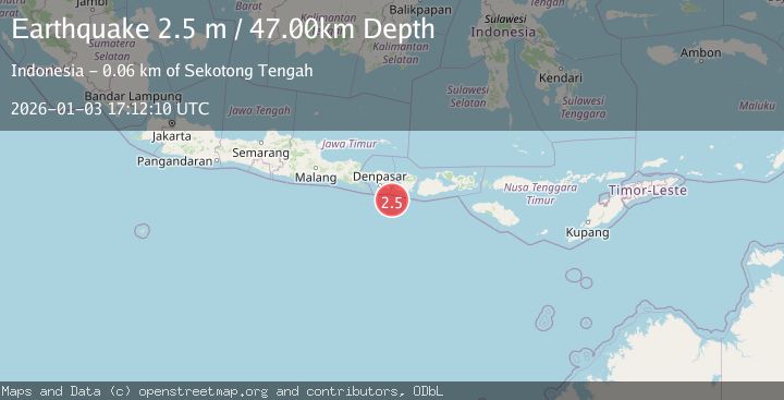
A 2.5 magnitude earthquake struck on SOUTH OF BALI, INDONESIA, at Sat, 03 Jan 2026 17:12:10 GMT. Depth: 47km. Reviewed by BMKG seismologists, this minor quake occurred at a magnitude type of m.
Magnitude
2.5
m
Source
BMKG
Intensity
-
Agency Reports
1 Sources| Source | Magnitude | Depth | Time |
|---|---|---|---|
| BMKGPrimary | 2.5 | 47 km | 1 month ago |
Earthquake Details
AutomaticEvent IDemsc_BMKG_20260103_0000280
Tsunami PotentialNo
Magnitude Typem
Nearest Places
- Pulau Sophialouisa45.7 km
- Gili Sarangburung47.4 km
- Gili Luah47.7 km
- Gili Loangberayun48.0 km
- Tanjung Batujonggat48.3 km
Comments
Join the discussion about this event.
Latest Earthquakes
2.9Mag
Central Alaska
Time1 minute ago
Depth0.00 km
SourceVYT (Automatic)
1.9Mag
Kenai Peninsula, Alaska
Time3 minutes ago
Depth67.87 km
SourceVYT (Automatic)
1.2Mag
Southeastern Alaska
Time7 minutes ago
Depth35.28 km
SourceVYT (Automatic)
3.3Mag
off the coast of Libertador O'Higgins, Chile
Time11 minutes ago
Depth10.00 km
SourceVYT (Automatic)
1.0Mag
6 km SSW of Redlands, CA
Time13 minutes ago
Depth10.39 km
SourceUSGS (Automatic)
Nearby Earthquakes
2.5Mag
South of Bali, Indonesia
Time2 weeks ago
Depth37.73 km
SourceBMKG (Automatic)
2.5Mag
South of Bali, Indonesia
Time2 weeks ago
Depth68.01 km
SourceBMKG (Automatic)
5.9Mag
SOUTH OF BALI, INDONESIA
Time16 years ago
Depth64.00 km
SourceEMSC (Automatic)
5.1Mag
SOUTH OF BALI, INDONESIA
Time14 years ago
Depth100.00 km
SourceEMSC (Automatic)
2.9Mag
South of Bali, Indonesia
Time3 weeks ago
Depth27.22 km
SourceBMKG (Automatic)