Earthquake NORTHERN SUMATRA, INDONESIA
Wed, 07 Jan 2026 10:53:25 GMT
Time1 month ago
Location
4.8600, 97.0300
Depth
1.0 KM
Event Summary
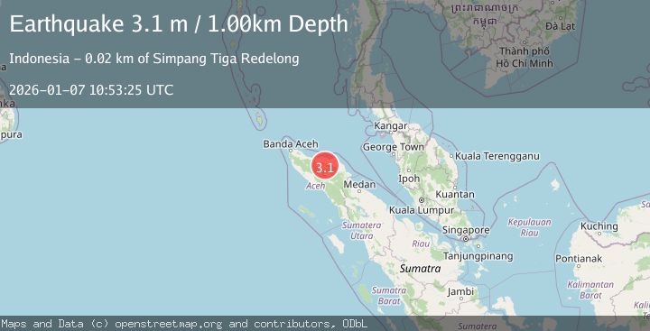
A 3.1 magnitude earthquake struck on NORTHERN SUMATRA, INDONESIA, at Wed, 07 Jan 2026 10:53:25 GMT. Depth: 1km. Reviewed by BMKG seismologists, this minor quake occurred at a magnitude type of m.
Magnitude
3.1
m
Source
BMKG
Intensity
-
Agency Reports
1 Sources| Source | Magnitude | Depth | Time |
|---|---|---|---|
| BMKGPrimary | 3.1 | 1 km | 1 month ago |
Earthquake Details
AutomaticEvent IDemsc_BMKG_20260107_0000182
Tsunami PotentialNo
Magnitude Typem
Nearest Places
- 2.5 km
- 2.5 km
- 3.0 km
- 3.0 km
- 3.5 km
Comments
Join the discussion about this event.
Latest Earthquakes
2.7Mag
Near North Coast of West Papua
Time10 minutes ago
Depth17.60 km
SourceBMKG
1.3Mag
22 km E of Anderson, Alaska
Time11 minutes ago
Depth14.10 km
SourceUSGS (Automatic)
2.6Mag
OFFSHORE EL SALVADOR
Time12 minutes ago
Depth31.00 km
SourceINET (Automatic)
2.6Mag
West Papua Region, Indonesia
Time13 minutes ago
Depth10.00 km
SourceBMKG
0.6Mag
2 km NW of The Geysers, CA
Time18 minutes ago
Depth3.79 km
SourceUSGS (Automatic)
Nearby Earthquakes
2.5Mag
Northern Sumatra, Indonesia
Time2 weeks ago
Depth3.46 km
SourceBMKG (Automatic)
5.4Mag
NORTHERN SUMATRA, INDONESIA
Time21 years ago
Depth33.00 km
SourceEMSC (Automatic)
2.7Mag
Northern Sumatra, Indonesia
Time5 days ago
Depth12.41 km
SourceBMKG
2.5Mag
NORTHERN SUMATRA, INDONESIA
Time1 month ago
Depth3.00 km
SourceBMKG (Automatic)
5.0Mag
NORTHERN SUMATRA, INDONESIA
Time9 years ago
Depth176.00 km
SourceEMSC (Automatic)