Earthquake SOUTHERN ALASKA
Mon, 12 Jan 2026 09:55:59 GMT
Time1 month ago
Location
60.6553, -143.0213
Depth
5.0 KM
Event Summary
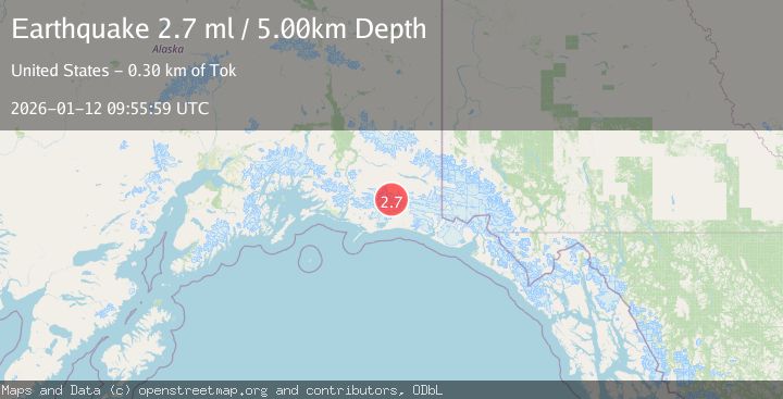
A 2.7 magnitude earthquake struck on SOUTHERN ALASKA, at Mon, 12 Jan 2026 09:55:59 GMT. Depth: 5km. Reviewed by NEIC seismologists, this minor quake occurred at a magnitude type of ml.
Magnitude
2.7
ml
Source
NEIC
Intensity
-
Agency Reports
1 Sources| Source | Magnitude | Depth | Time |
|---|---|---|---|
| NEICPrimary | 2.7 | 5 km | 1 month ago |
Earthquake Details
AutomaticEvent IDemsc_NEIC_20260112_0000162
Tsunami PotentialNo
Magnitude Typeml
Nearest Places
- Mount Steller15.8 km
- Waxell Ridge17.2 km
- Bremner Glacier19.9 km
- Granite Creek20.3 km
- Betge Glacier20.9 km
Comments
Join the discussion about this event.
Latest Earthquakes
1.4Mag
Czech Republic
Time49 seconds ago
Depth0.00 km
SourceVYT (Automatic)
2.1Mag
Tarapaca, Chile
Time7 minutes ago
Depth8.18 km
SourceVYT (Automatic)
1.4Mag
12 km ESE of Olancha, CA
Time7 minutes ago
Depth7.15 km
SourceUSGS (Automatic)
2.8Mag
northwestern Russia
Time8 minutes ago
Depth10.00 km
SourceVYT (Automatic)
3.3Mag
Near North Coast of West Papua
Time8 minutes ago
Depth10.00 km
SourceBMKG
Nearby Earthquakes
1.8Mag
Southern Alaska
Time11 hours ago
Depth16.72 km
SourceVYT (Automatic)
2.1Mag
Southern Alaska
Time1 day ago
Depth18.92 km
SourceVYT (Automatic)
1.3Mag
Southern Alaska
Time1 day ago
Depth17.46 km
SourceVYT (Automatic)
1.7Mag
91 km S of McCarthy, Alaska
Time2 weeks ago
Depth28.20 km
SourceUSGS (Automatic)
1.4Mag
104 km S of McCarthy, Alaska
Time2 weeks ago
Depth6.30 km
SourceUSGS (Automatic)