Earthquake 115 km WNW of Yakutat, Alaska
Sun, 04 Jan 2026 00:03:31 GMT
Time4 days ago
Location
60.1330, -141.4230
Depth
5.0 KM
Event Summary
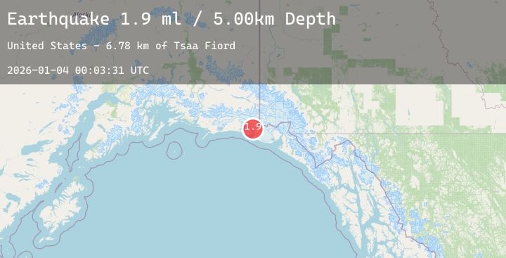
A 1.9 magnitude earthquake struck on 115 km WNW of Yakutat, Alaska, at Sun, 04 Jan 2026 00:03:31 GMT. Depth: 5km. Reviewed by USGS seismologists, this minor quake occurred at a magnitude type of ml.
Magnitude
1.9
ml
Source
USGS
Intensity
-
Agency Reports
1 Sources| Source | Magnitude | Depth | Time |
|---|---|---|---|
| USGSPrimary | 1.9 | 5 km | 4 days ago |
Earthquake Details
AutomaticEvent IDusgs_ak2026afnhrt
Tsunami PotentialNo
Magnitude Typeml
Nearest Places
- Tsaa Fiord6.8 km
- Karr Hills7.6 km
- Taan Fiord8.5 km
- Guyot Hills9.0 km
- Daisy Glacier10.1 km
Comments
Join the discussion about this event.
Latest Earthquakes
3.3Mag
SALTA, ARGENTINA
Time4 days ago
Depth200.00 km
SourceNSNA (Automatic)
3.0Mag
OFF COAST OF CENTRAL AMERICA
Time4 days ago
Depth17.00 km
SourceINET (Automatic)
2.2Mag
ALBANIA
Time4 days ago
Depth15.00 km
SourceIGEO (Automatic)
2.2Mag
67 km SSE of Cantwell, Alaska
Time4 days ago
Depth57.80 km
SourceUSGS (Automatic)
1.0Mag
15 km SE of Stanton, Texas
Time4 days ago
Depth4.32 km
SourceUSGS (Automatic)
Nearby Earthquakes
2.0Mag
85 km N of Yakutat, Alaska
Time4 days ago
Depth1.50 km
SourceUSGS (Automatic)
1.8Mag
121 km NW of Yakutat, Alaska
Time4 days ago
Depth12.10 km
SourceUSGS (Automatic)
1.6Mag
114 km NW of Yakutat, Alaska
Time4 days ago
Depth15.30 km
SourceUSGS (Automatic)
1.9Mag
90 km NW of Yakutat, Alaska
Time4 days ago
Depth17.80 km
SourceUSGS (Automatic)
1.7Mag
77 km NW of Yakutat, Alaska
Time4 days ago
Depth18.60 km
SourceUSGS (Automatic)