Earthquake 10 km W of Houston, Alaska
Sat, 17 Jan 2026 22:56:33 GMT
Time1 hour ago
Location
61.6240, -150.0100
Depth
29.1 KM
Event Summary
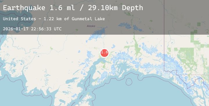
A 1.6 magnitude earthquake struck on 10 km W of Houston, Alaska, at Sat, 17 Jan 2026 22:56:33 GMT. Depth: 29.1km. Reviewed by USGS seismologists, this minor quake occurred at a magnitude type of ml.
Magnitude
1.6
ml
Source
USGS
Intensity
-
Agency Reports
1 Sources| Source | Magnitude | Depth | Time |
|---|---|---|---|
| USGSPrimary | 1.6 | 29 km | 1 hour ago |
Earthquake Details
AutomaticEvent IDusgs_ak2026bfdghj
Tsunami PotentialNo
Magnitude Typeml
Nearest Places
- Gunmetal Lake1.2 km
- Diana Lakes2.4 km
- Buckley Lake Number Two2.5 km
- Lynx Lake2.9 km
- Houston Lake3.1 km
Comments
Join the discussion about this event.
Latest Earthquakes
1.9Mag
14 km SW of Lamont, CA
Time12 minutes ago
Depth13.02 km
SourceUSGS (Automatic)
2.3Mag
CENTRAL CALIFORNIA
Time16 minutes ago
Depth5.60 km
SourceNC (Automatic)
2.5Mag
WESTERN AUSTRALIA
Time18 minutes ago
Depth5.00 km
SourceAUST (Automatic)
1.3Mag
24 km SSE of Lindsay, Texas
Time20 minutes ago
Depth8.96 km
SourceUSGS (Automatic)
3.8Mag
Northern Sumatra, Indonesia
Time22 minutes ago
Depth166.12 km
SourceBMKG (Automatic)
Nearby Earthquakes
3.5Mag
SOUTHERN ALASKA
Time6 hours ago
Depth85.70 km
SourceNEIC (Automatic)
2.4Mag
18 km NW of Girdwood, Alaska
Time7 hours ago
Depth17.30 km
SourceUSGS (Automatic)
1.8Mag
31 km NNE of Skwentna, Alaska
Time12 hours ago
Depth68.10 km
SourceUSGS (Automatic)
1.6Mag
14 km NNE of Sutton-Alpine, Alaska
Time17 hours ago
Depth27.20 km
SourceUSGS (Automatic)
2.7Mag
1 km SE of Point MacKenzie, Alaska
Time18 hours ago
Depth22.90 km
SourceUSGS (Automatic)