Earthquake 44 km NW of Tatitlek, Alaska
Mon, 02 Feb 2026 07:17:56 GMT
Time16 hours ago
Location
61.1720, -147.2180
Depth
2.6 KM
Event Summary
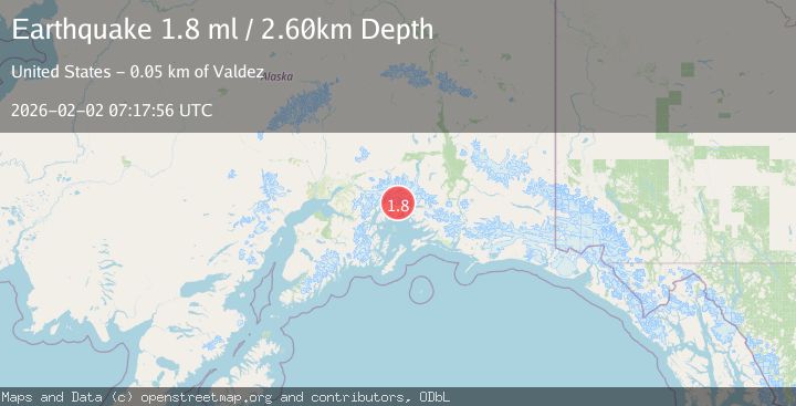
A 1.8 magnitude earthquake struck on 44 km NW of Tatitlek, Alaska, at Mon, 02 Feb 2026 07:17:56 GMT. Depth: 2.6km. Reviewed by USGS seismologists, this minor quake occurred at a magnitude type of ml.
Magnitude
1.8
ml
Source
USGS
Intensity
-
Agency Reports
1 Sources| Source | Magnitude | Depth | Time |
|---|---|---|---|
| USGSPrimary | 1.8 | 3 km | 16 hours ago |
Earthquake Details
AutomaticEvent IDusgs_ak2026chhtog
Tsunami PotentialNo
Magnitude Typeml
Nearest Places
- Pedro Glacier6.8 km
- First Branch Columbia Glacier (not official)6.9 km
- Kadin Lake7.9 km
- Columbia Peak8.1 km
- Mount Defiant10.4 km
Comments
Join the discussion about this event.
Latest Earthquakes
2.2Mag
7 km S of Badger, Alaska
Time4 minutes ago
Depth19.20 km
SourceUSGS (Automatic)
1.9Mag
87 km N of Yakutat, Alaska
Time16 minutes ago
Depth5.00 km
SourceUSGS (Automatic)
1.8Mag
44 km NW of Tatitlek, Alaska
Time20 minutes ago
Depth17.80 km
SourceUSGS (Automatic)
2.3Mag
Flores Region, Indonesia
Time21 minutes ago
Depth17.19 km
SourceBMKG (Automatic)
3.6Mag
Sumbawa Region, Indonesia
Time22 minutes ago
Depth14.84 km
SourceBMKG (Automatic)
Nearby Earthquakes
1.8Mag
44 km NW of Tatitlek, Alaska
Time20 minutes ago
Depth17.80 km
SourceUSGS (Automatic)
3.5Mag
45 km NW of Tatitlek, Alaska
Time6 days ago
Depth13.60 km
SourceUSGS (Automatic)
1.8Mag
48 km NW of Tatitlek, Alaska
Time3 days ago
Depth17.40 km
SourceUSGS (Automatic)
1.9Mag
42 km WNW of Valdez, Alaska
Time6 days ago
Depth9.20 km
SourceUSGS
1.8Mag
41 km WNW of Valdez, Alaska
Time1 day ago
Depth5.00 km
SourceUSGS (Automatic)