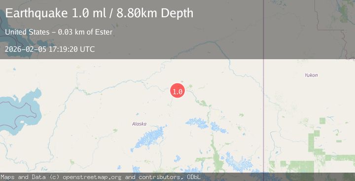
Earthquake 30 km W of Ester, Alaska
Thu, 05 Feb 2026 17:19:20 GMT
Time3 hours ago
Location
64.8080, -148.6520
Depth
8.8 KM
Event Summary
A 1.0 magnitude earthquake struck on 30 km W of Ester, Alaska, at Thu, 05 Feb 2026 17:19:20 GMT. Depth: 8.8km. Reviewed by USGS seismologists, this minor quake occurred at a magnitude type of ml.
Magnitude
1.0
ml
Source
USGS
Intensity
-
Agency Reports
1 Sources| Source | Magnitude | Depth | Time |
|---|---|---|---|
| USGSPrimary | 1.0 | 9 km | 3 hours ago |
Earthquake Details
AutomaticEvent IDusgs_ak2026cnowli
Tsunami PotentialNo
Magnitude Typeml
Nearest Places
- California3.1 km
- Glacier Creek5.1 km
- Standard6.5 km
- Section House7.0 km
- Standard Creek7.1 km
Comments
Join the discussion about this event.
Latest Earthquakes
1.8Mag
109 km N of Yakutat, Alaska
Time23 minutes ago
Depth7.70 km
SourceUSGS
1.5Mag
EASTERN TURKEY
Time27 minutes ago
Depth8.50 km
SourceAFAD (Automatic)
3.5Mag
WASATCH FRONT URBAN AREA, UTAH
Time31 minutes ago
Depth8.00 km
SourceCSLC (Automatic)
3.2Mag
ATACAMA, CHILE
Time35 minutes ago
Depth34.30 km
SourceCSN (Automatic)
1.7Mag
11 km SSW of Honoka‘a, Hawaii
Time42 minutes ago
Depth14.25 km
SourceUSGS (Automatic)
Nearby Earthquakes
1.1Mag
31 km NE of Four Mile Road, Alaska
Time3 days ago
Depth11.60 km
SourceUSGS (Automatic)
1.0Mag
32 km W of Ester, Alaska
Time4 days ago
Depth13.50 km
SourceUSGS (Automatic)
1.2Mag
28 km NE of Four Mile Road, Alaska
Time3 days ago
Depth5.00 km
SourceUSGS (Automatic)
0.7Mag
22 km NE of Four Mile Road, Alaska
Time1 week ago
Depth28.90 km
SourceUSGS (Automatic)
1.7Mag
18 km WSW of Ester, Alaska
Time1 week ago
Depth6.50 km
SourceUSGS (Automatic)