Earthquake 32 km W of Ester, Alaska
Sun, 01 Feb 2026 16:07:55 GMT
Time1 day ago
Location
64.8410, -148.6950
Depth
13.5 KM
Event Summary
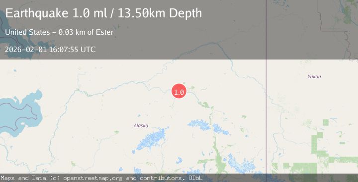
A 1.0 magnitude earthquake struck on 32 km W of Ester, Alaska, at Sun, 01 Feb 2026 16:07:55 GMT. Depth: 13.5km. Reviewed by USGS seismologists, this minor quake occurred at a magnitude type of ml.
Magnitude
1.0
ml
Source
USGS
Intensity
-
Agency Reports
1 Sources| Source | Magnitude | Depth | Time |
|---|---|---|---|
| USGSPrimary | 1.0 | 14 km | 1 day ago |
Earthquake Details
AutomaticEvent IDusgs_ak2026cgdpjj
Tsunami PotentialNo
Magnitude Typeml
Nearest Places
- California6.4 km
- Minto Lakes7.8 km
- Section House8.9 km
- Glacier Creek9.3 km
- Standard10.3 km
Comments
Join the discussion about this event.
Latest Earthquakes
2.0Mag
NORTHERN ITALY
Time5 hours ago
Depth5.00 km
SourceLDG (Automatic)
2.1Mag
Sumbawa Region, Indonesia
Time5 hours ago
Depth96.66 km
SourceBMKG (Automatic)
2.0Mag
9 km NE of Coso Junction, CA
Time5 hours ago
Depth2.78 km
SourceUSGS (Automatic)
1.4Mag
NORTHERN ITALY
Time5 hours ago
Depth2.60 km
SourceETHZ (Automatic)
1.1Mag
10 km NW of The Geysers, CA
Time5 hours ago
Depth2.23 km
SourceUSGS (Automatic)
Nearby Earthquakes
1.1Mag
31 km NE of Four Mile Road, Alaska
Time20 hours ago
Depth11.60 km
SourceUSGS (Automatic)
1.2Mag
28 km NE of Four Mile Road, Alaska
Time14 hours ago
Depth5.00 km
SourceUSGS (Automatic)
0.7Mag
22 km NE of Four Mile Road, Alaska
Time6 days ago
Depth28.90 km
SourceUSGS (Automatic)
0.7Mag
28 km WNW of Ester, Alaska
Time1 week ago
Depth10.80 km
SourceUSGS (Automatic)
1.3Mag
20 km NNE of Four Mile Road, Alaska
Time4 days ago
Depth5.00 km
SourceUSGS (Automatic)