Earthquake 81 km NNW of Karluk, Alaska
Fri, 06 Feb 2026 21:17:37 GMT
Time1 hour ago
Location
58.2520, -154.9410
Depth
5.0 KM
Event Summary
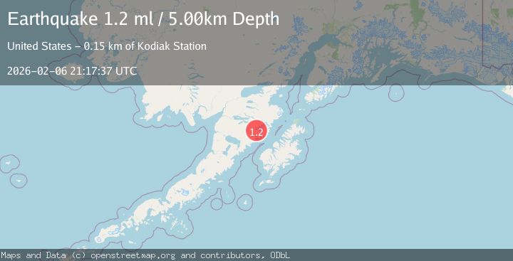
A 1.2 magnitude earthquake struck on 81 km NNW of Karluk, Alaska, at Fri, 06 Feb 2026 21:17:37 GMT. Depth: 5km. Reviewed by USGS seismologists, this minor quake occurred at a magnitude type of ml.
Magnitude
1.2
ml
Source
USGS
Intensity
-
Agency Reports
1 Sources| Source | Magnitude | Depth | Time |
|---|---|---|---|
| USGSPrimary | 1.2 | 5 km | 1 hour ago |
Earthquake Details
AutomaticEvent IDusgs_ak2026cpsmqo
Tsunami PotentialNo
Magnitude Typeml
Nearest Places
- Crater Lake2.5 km
- Mount Katmai3.1 km
- Noisy Glacier4.9 km
- The Knife Creek Glaciers5.5 km
- The Knife Creek Glacier6.2 km
Comments
Join the discussion about this event.
Latest Earthquakes
2.6Mag
Timor Region
Time14 minutes ago
Depth35.89 km
SourceBMKG (Automatic)
2.8Mag
Bali Sea
Time22 minutes ago
Depth15.77 km
SourceBMKG (Automatic)
2.6Mag
Java, Indonesia
Time26 minutes ago
Depth12.69 km
SourceBMKG (Automatic)
1.3Mag
4 km W of Cobb, CA
Time29 minutes ago
Depth2.02 km
SourceUSGS (Automatic)
1.1Mag
2 km ESE of Tres Pinos, CA
Time30 minutes ago
Depth7.90 km
SourceUSGS (Automatic)
Nearby Earthquakes
0.9Mag
81 km NNW of Karluk, Alaska
Time6 days ago
Depth5.00 km
SourceUSGS (Automatic)
1.6Mag
83 km NNW of Karluk, Alaska
Time1 week ago
Depth5.00 km
SourceUSGS (Automatic)
0.9Mag
79 km NNW of Karluk, Alaska
Time1 week ago
Depth5.00 km
SourceUSGS (Automatic)
3.7Mag
83 km NNW of Karluk, Alaska
Time2 weeks ago
Depth5.00 km
SourceUSGS (Automatic)
0.8Mag
80 km NNW of Karluk, Alaska
Time1 week ago
Depth5.00 km
SourceUSGS (Automatic)