Earthquake 110 km N of Yakutat, Alaska
Sat, 07 Feb 2026 00:40:26 GMT
Time2 hours ago
Location
60.5240, -140.0140
Depth
13.8 KM
Event Summary
A 1.9 magnitude earthquake struck on 110 km N of Yakutat, Alaska, at Sat, 07 Feb 2026 00:40:26 GMT. Depth: 13.8km. Reviewed by USGS seismologists, this minor quake occurred at a magnitude type of ml.
Magnitude
1.9
ml
Source
USGS
Intensity
-
Agency Reports
1 Sources| Source | Magnitude | Depth | Time |
|---|---|---|---|
| USGSPrimary | 1.9 | 5 km | 1 hour ago |
Earthquake Details
ConfirmedEvent IDusgs_ak2026cpzfkv
Tsunami PotentialNo
Magnitude Typeml
Nearest Places
- Marker Lake1.9 km
- Mount King George12.4 km
- McArthur Peak14.2 km
- Mount Queen Mary19.6 km
- Mount Logan21.9 km
Comments
Join the discussion about this event.
Latest Earthquakes
3.3Mag
HOKKAIDO, JAPAN REGION
Time17 minutes ago
Depth0.00 km
SourceJMA (Automatic)
1.8Mag
14 km W of Petrolia, CA
Time21 minutes ago
Depth12.39 km
SourceUSGS (Automatic)
2.3Mag
PORTUGAL
Time22 minutes ago
Depth2.00 km
SourceIPMA (Automatic)
2.0Mag
47 km NNE of Chase, Alaska
Time24 minutes ago
Depth0.50 km
SourceUSGS (Automatic)
1.1Mag
8 km W of Cobb, CA
Time24 minutes ago
Depth1.68 km
SourceUSGS (Automatic)
Nearby Earthquakes
1.8Mag
109 km N of Yakutat, Alaska
Time1 day ago
Depth7.70 km
SourceUSGS
1.8Mag
110 km N of Yakutat, Alaska
Time1 week ago
Depth9.50 km
SourceUSGS
3.0Mag
112 km NNW of Yakutat, Alaska
Time1 day ago
Depth11.30 km
SourceUSGS
1.8Mag
107 km N of Yakutat, Alaska
Time1 week ago
Depth10.50 km
SourceUSGS
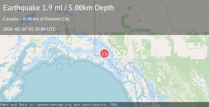
4.4Mag
SOUTHERN YUKON TERRITORY, CANADA
Time1 week ago
Depth5.00 km
SourceAK (Automatic)