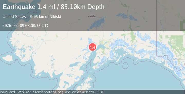
Earthquake 43 km W of Tyonek, Alaska
Mon, 09 Feb 2026 08:08:33 GMT
Time1 hour ago
Location
61.0520, -151.9330
Depth
85.1 KM
Event Summary
A 1.4 magnitude earthquake struck on 43 km W of Tyonek, Alaska, at Mon, 09 Feb 2026 08:08:33 GMT. Depth: 85.1km. Reviewed by USGS seismologists, this minor quake occurred at a magnitude type of ml.
Magnitude
1.4
ml
Source
USGS
Intensity
-
Agency Reports
1 Sources| Source | Magnitude | Depth | Time |
|---|---|---|---|
| USGSPrimary | 1.4 | 85 km | 1 hour ago |
Earthquake Details
AutomaticEvent IDusgs_ak2026cufnil
Tsunami PotentialNo
Magnitude Typeml
Nearest Places
- Noaukta Slough5.1 km
- Blacksand Creek11.5 km
- Straight Creek12.5 km
- Neacola Mountains13.3 km
- Chakachatna River15.8 km
Comments
Join the discussion about this event.
Latest Earthquakes
1.7Mag
STRAIT OF GIBRALTAR
Time10 minutes ago
Depth0.00 km
SourceIGN (Automatic)
2.0Mag
13 km E of Pāhala, Hawaii
Time15 minutes ago
Depth27.29 km
SourceUSGS (Automatic)
0.8Mag
10 km WNW of The Geysers, CA
Time21 minutes ago
Depth2.64 km
SourceUSGS (Automatic)
3.8Mag
North of Halmahera, Indonesia
Time25 minutes ago
Depth151.96 km
SourceBMKG (Automatic)
1.5Mag
CENTRAL TURKEY
Time30 minutes ago
Depth7.00 km
SourceAFAD (Automatic)
Nearby Earthquakes
2.2Mag
56 km W of Tyonek, Alaska
Time2 weeks ago
Depth110.90 km
SourceUSGS (Automatic)
2.2Mag
60 km W of Tyonek, Alaska
Time2 weeks ago
Depth113.30 km
SourceUSGS (Automatic)
2.5Mag
61 km W of Tyonek, Alaska
Time5 days ago
Depth117.10 km
SourceUSGS (Automatic)
2.2Mag
62 km W of Tyonek, Alaska
Time4 days ago
Depth113.70 km
SourceUSGS (Automatic)
2.1Mag
49 km WNW of Beluga, Alaska
Time6 days ago
Depth103.90 km
SourceUSGS (Automatic)