Earthquake 15 km NNE of Ridgecrest, CA
Sun, 01 Feb 2026 15:54:31 GMT
Time1 day ago
Location
35.7388, -117.6020
Depth
10.3 KM
Event Summary
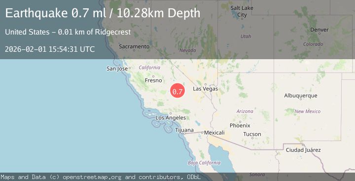
A 0.7 magnitude earthquake struck on 15 km NNE of Ridgecrest, CA, at Sun, 01 Feb 2026 15:54:31 GMT. Depth: 10.28km. Reviewed by USGS seismologists, this minor quake occurred at a magnitude type of ml.
Magnitude
0.7
ml
Source
USGS
Intensity
-
Agency Reports
1 Sources| Source | Magnitude | Depth | Time |
|---|---|---|---|
| USGSPrimary | 0.7 | 10 km | 1 day ago |
Earthquake Details
AutomaticEvent IDusgs_ci41177727
Tsunami PotentialNo
Magnitude Typeml
Nearest Places
- China Lake2.0 km
- Kennedy Viewing Stands5.1 km
- Lark Seep5.9 km
- Old Flight Line Trail6.9 km
- Burro Canyon7.0 km
Comments
Join the discussion about this event.
Latest Earthquakes
2.0Mag
NORTHERN ITALY
Time2 hours ago
Depth5.00 km
SourceLDG (Automatic)
2.1Mag
Sumbawa Region, Indonesia
Time2 hours ago
Depth96.66 km
SourceBMKG (Automatic)
2.0Mag
9 km NE of Coso Junction, CA
Time2 hours ago
Depth2.78 km
SourceUSGS (Automatic)
1.4Mag
NORTHERN ITALY
Time2 hours ago
Depth2.60 km
SourceETHZ (Automatic)
1.1Mag
10 km NW of The Geysers, CA
Time2 hours ago
Depth2.23 km
SourceUSGS (Automatic)
Nearby Earthquakes
1.5Mag
17 km NNE of Ridgecrest, CA
Time3 days ago
Depth8.41 km
SourceUSGS (Automatic)
0.5Mag
17 km W of Searles Valley, CA
Time1 day ago
Depth9.98 km
SourceUSGS (Automatic)
0.6Mag
13 km NE of Ridgecrest, CA
Time7 hours ago
Depth6.91 km
SourceUSGS (Automatic)
1.7Mag
15 km WSW of Searles Valley, CA
Time1 week ago
Depth4.02 km
SourceUSGS (Automatic)
1.4Mag
14 km NE of Ridgecrest, CA
Time22 hours ago
Depth8.20 km
SourceUSGS (Automatic)