Earthquake 16 km W of Searles Valley, CA
Wed, 04 Feb 2026 07:05:15 GMT
Time9 hours ago
Location
35.7788, -117.5798
Depth
8.5 KM
Event Summary
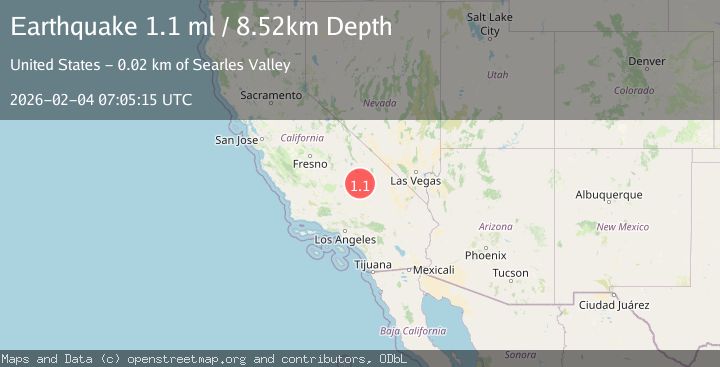
A 1.1 magnitude earthquake struck on 16 km W of Searles Valley, CA, at Wed, 04 Feb 2026 07:05:15 GMT. Depth: 8.52000045776367km. Reviewed by USGS seismologists, this minor quake occurred at a magnitude type of ml.
Magnitude
1.1
ml
Source
USGS
Intensity
-
Agency Reports
1 Sources| Source | Magnitude | Depth | Time |
|---|---|---|---|
| USGSPrimary | 1.1 | 9 km | 9 hours ago |
Earthquake Details
AutomaticEvent IDusgs_ci41391400
Tsunami PotentialNo
Magnitude Typeml
Nearest Places
- Burro Canyon2.2 km
- Burro Canyon Test Facility2.9 km
- Paxton Ranch4.2 km
- Deadman Canyon5.2 km
- China Lake6.9 km
Comments
Join the discussion about this event.
Latest Earthquakes
0.3Mag
6 km NW of The Geysers, CA
Time5 hours ago
Depth3.41 km
SourceUSGS (Automatic)
1.7Mag
58 km S of Whites City, New Mexico
Time5 hours ago
Depth4.46 km
SourceUSGS (Automatic)
2.0Mag
Southern Sumatra, Indonesia
Time5 hours ago
Depth4.94 km
SourceBMKG (Automatic)
2.1Mag
NEAR SOUTH COAST OF FRANCE
Time5 hours ago
Depth5.00 km
SourceReNaSS (Automatic)
2.5Mag
ANTOFAGASTA, CHILE
Time5 hours ago
Depth100.80 km
SourceCSN (Automatic)
Nearby Earthquakes
0.5Mag
17 km W of Searles Valley, CA
Time3 days ago
Depth9.98 km
SourceUSGS (Automatic)
1.5Mag
17 km NNE of Ridgecrest, CA
Time5 days ago
Depth8.41 km
SourceUSGS (Automatic)
0.6Mag
19 km NNE of Ridgecrest, CA
Time1 week ago
Depth8.30 km
SourceUSGS (Automatic)
0.7Mag
15 km NNE of Ridgecrest, CA
Time3 days ago
Depth10.28 km
SourceUSGS (Automatic)
1.2Mag
13 km WNW of Searles Valley, CA
Time1 week ago
Depth-0.10 km
SourceUSGS (Automatic)