Earthquake 23 km N of Ridgecrest, CA
Mon, 09 Feb 2026 11:58:44 GMT
Time3 hours ago
Location
35.8287, -117.6588
Depth
5.0 KM
Event Summary
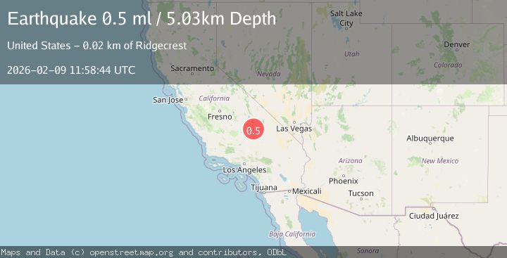
A 0.5 magnitude earthquake struck on 23 km N of Ridgecrest, CA, at Mon, 09 Feb 2026 11:58:44 GMT. Depth: 5.03km. Reviewed by USGS seismologists, this minor quake occurred at a magnitude type of ml.
Magnitude
0.5
ml
Source
USGS
Intensity
-
Agency Reports
1 Sources| Source | Magnitude | Depth | Time |
|---|---|---|---|
| USGSPrimary | 0.5 | 5 km | 3 hours ago |
Earthquake Details
AutomaticEvent IDusgs_ci41394360
Tsunami PotentialNo
Magnitude Typeml
Nearest Places
- Paxton Ranch4.9 km
- Deadman Canyon6.0 km
- Sterling Queen Mine6.7 km
- White Hills6.7 km
- Wilson Canyon8.0 km
Comments
Join the discussion about this event.
Latest Earthquakes
2.2Mag
Sumbawa Region, Indonesia
Time11 minutes ago
Depth28.51 km
SourceBMKG (Automatic)
2.2Mag
16 km ESE of Little Lake, CA
Time14 minutes ago
Depth2.50 km
SourceUSGS (Automatic)
3.5Mag
Tanimbar Islands Region, Indonesia
Time14 minutes ago
Depth126.00 km
SourceBMKG (Automatic)
3.7Mag
HOKKAIDO, JAPAN REGION
Time15 minutes ago
Depth0.00 km
SourceJMA (Automatic)
2.4Mag
42 km N of Petersville, Alaska
Time18 minutes ago
Depth89.30 km
SourceUSGS (Automatic)
Nearby Earthquakes
1.6Mag
23 km N of Ridgecrest, CA
Time1 day ago
Depth7.90 km
SourceUSGS (Automatic)
1.7Mag
22 km N of Ridgecrest, CA
Time5 days ago
Depth7.95 km
SourceUSGS (Automatic)
1.3Mag
Central California
Time3 weeks ago
Depth6.75 km
SourceUSGS (Automatic)
0.8Mag
21 km ESE of Little Lake, CA
Time1 day ago
Depth4.82 km
SourceUSGS (Automatic)
1.8Mag
22 km ESE of Little Lake, CA
Time1 week ago
Depth4.68 km
SourceUSGS (Automatic)