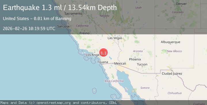
Earthquake 13 km N of Banning, CA
Thu, 26 Feb 2026 10:19:59 GMT
Time2 hours ago
Location
34.0440, -116.8823
Depth
13.5 KM
Event Summary
A 1.3 magnitude earthquake struck on 13 km N of Banning, CA, at Thu, 26 Feb 2026 10:19:59 GMT. Depth: 13.539999961853km. Reviewed by USGS seismologists, this minor quake occurred at a magnitude type of ml.
Magnitude
1.3
ml
Source
USGS
Intensity
-
Agency Reports
1 Sources| Source | Magnitude | Depth | Time |
|---|---|---|---|
| USGSPrimary | 1.3 | 14 km | 2 hours ago |
Earthquake Details
AutomaticEvent IDusgs_ci41404176
Tsunami PotentialNo
Magnitude Typeml
Nearest Places
- 1.8 km
- 2.3 km
- 2.4 km
- 2.5 km
- 2.5 km
Comments
Join the discussion about this event.
Latest Earthquakes
4.3Mag
CANARY ISLANDS, SPAIN REGION
Time9 minutes ago
Depth14.70 km
SourceIGN (Automatic)
2.5Mag
Flores Sea
Time10 minutes ago
Depth0.00 km
SourceVYT (Automatic)
2.8Mag
Near North Coast of West Papua
Time24 minutes ago
Depth10.00 km
SourceBMKG
2.6Mag
Poland
Time28 minutes ago
Depth6.35 km
SourceVYT (Automatic)
3.2Mag
LA RIOJA, ARGENTINA
Time32 minutes ago
Depth114.00 km
SourceNSNA (Automatic)
Nearby Earthquakes
1.1Mag
12 km N of Banning, CA
Time2 weeks ago
Depth12.38 km
SourceUSGS (Automatic)
1.4Mag
12 km E of Yucaipa, CA
Time4 days ago
Depth15.73 km
SourceUSGS (Automatic)
1.5Mag
9 km N of Banning, CA
Time12 hours ago
Depth18.59 km
SourceUSGS (Automatic)
1.2Mag
9 km N of Banning, CA
Time6 days ago
Depth18.03 km
SourceUSGS (Automatic)
1.4Mag
8 km NNE of Banning, CA
Time1 month ago
Depth12.57 km
SourceUSGS (Automatic)