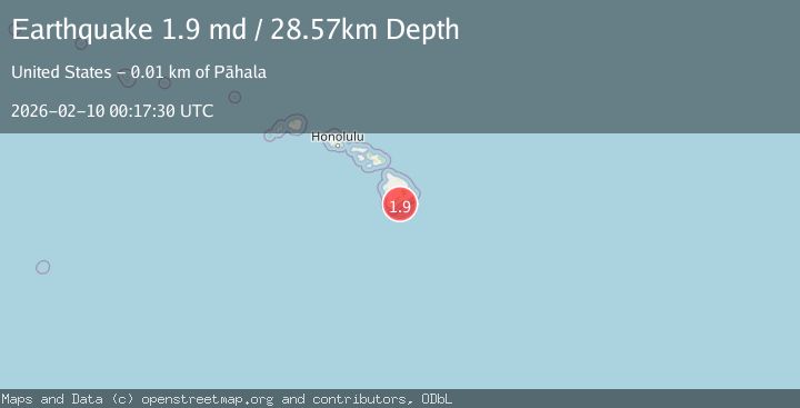
Earthquake 14 km ESE of Pāhala, Hawaii
Tue, 10 Feb 2026 00:17:30 GMT
Time3 hours ago
Location
19.1417, -155.3577
Depth
28.6 KM
Event Summary
A 1.9 magnitude earthquake struck on 14 km ESE of Pāhala, Hawaii, at Tue, 10 Feb 2026 00:17:30 GMT. Depth: 28.5699996948242km. Reviewed by USGS seismologists, this minor quake occurred at a magnitude type of md.
Magnitude
1.9
md
Source
USGS
Intensity
-
Agency Reports
1 Sources| Source | Magnitude | Depth | Time |
|---|---|---|---|
| USGSPrimary | 1.9 | 29 km | 3 hours ago |
Earthquake Details
AutomaticEvent IDusgs_hv74897122
Tsunami PotentialNo
Magnitude Typemd
Nearest Places
- Papalehau Point6.7 km
- Laahana6.8 km
- Kapaoo Point6.8 km
- Waiwelawela Point7.0 km
- Punahaha7.2 km
Comments
Join the discussion about this event.
Latest Earthquakes
1.5Mag
82 km ENE of Ugashik, Alaska
Time3 minutes ago
Depth120.80 km
SourceUSGS (Automatic)
3.2Mag
32 km NW of Nanwalek, Alaska
Time7 minutes ago
Depth65.50 km
SourceUSGS (Automatic)
3.2Mag
SOUTHERN ALASKA
Time7 minutes ago
Depth65.50 km
SourceAK (Automatic)
1.0Mag
18 km NNE of Indio, CA
Time8 minutes ago
Depth3.58 km
SourceUSGS (Automatic)
1.5Mag
5 km WNW of Cobb, CA
Time15 minutes ago
Depth1.94 km
SourceUSGS (Automatic)
Nearby Earthquakes
1.8Mag
14 km ESE of Pāhala, Hawaii
Time1 week ago
Depth28.57 km
SourceUSGS (Automatic)
2.1Mag
14 km ESE of Pāhala, Hawaii
Time1 week ago
Depth29.30 km
SourceUSGS (Automatic)
3.2Mag
13 km ESE of Pāhala, Hawaii
Time2 weeks ago
Depth29.62 km
SourceUSGS
1.7Mag
14 km SE of Pāhala, Hawaii
Time3 days ago
Depth27.59 km
SourceUSGS (Automatic)
1.9Mag
13 km SE of Pāhala, Hawaii
Time2 weeks ago
Depth29.31 km
SourceUSGS (Automatic)