Earthquake Southern Sumatra, Indonesia
Fri, 06 Feb 2026 21:44:08 GMT
Time1 hour ago
Location
-1.4964, 99.9606
Depth
17.4 KM
Event Summary
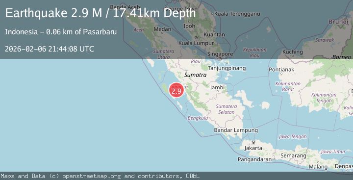
A 2.9 magnitude earthquake struck on Southern Sumatra, Indonesia, at Fri, 06 Feb 2026 21:44:08 GMT. Depth: 17.409473km. Reviewed by BMKG seismologists, this minor quake occurred at a magnitude type of M.
Magnitude
2.9
M
Source
BMKG
Intensity
-
Agency Reports
1 Sources| Source | Magnitude | Depth | Time |
|---|---|---|---|
| BMKGPrimary | 2.9 | 17 km | 1 hour ago |
Earthquake Details
AutomaticEvent IDbmg2026cpld
Tsunami PotentialNo
Magnitude TypeM
Nearest Places
- Selat Mentawai28.5 km
- Pulau Nyamuk45.0 km
- Pulau Laut45.5 km
- Mentawai Basin51.2 km
- Pulau Sibuntar52.5 km
Comments
Join the discussion about this event.
Latest Earthquakes
2.1Mag
48 km WNW of Anchor Point, Alaska
Time8 minutes ago
Depth100.30 km
SourceUSGS (Automatic)
1.6Mag
36 km NE of Crane, Texas
Time13 minutes ago
Depth3.47 km
SourceUSGS (Automatic)
3.6Mag
JUJUY, ARGENTINA
Time15 minutes ago
Depth244.40 km
SourceCSN (Automatic)
2.7Mag
Seram, Indonesia
Time17 minutes ago
Depth34.16 km
SourceBMKG (Automatic)
4.2Mag
Tanimbar Islands Region, Indonesia
Time24 minutes ago
Depth137.60 km
SourceBMKG (Automatic)
Nearby Earthquakes
4.5Mag
Southern Sumatra, Indonesia
Time5 days ago
Depth23.34 km
SourceBMKG (Automatic)
4.1Mag
KEP. MENTAWAI REGION, INDONESIA
Time2 weeks ago
Depth48.00 km
SourceBMKG (Automatic)
4.2Mag
Southern Sumatra, Indonesia
Time2 weeks ago
Depth56.32 km
SourceBMKG (Automatic)
3.5Mag
Southern Sumatra, Indonesia
Time1 week ago
Depth20.50 km
SourceBMKG (Automatic)
3.3Mag
Southern Sumatra, Indonesia
Time1 week ago
Depth80.85 km
SourceBMKG (Automatic)