Earthquake Sumbawa Region, Indonesia
Sat, 07 Feb 2026 07:39:45 GMT
Time1 hour ago
Location
-9.3052, 117.1633
Depth
10.0 KM
Event Summary
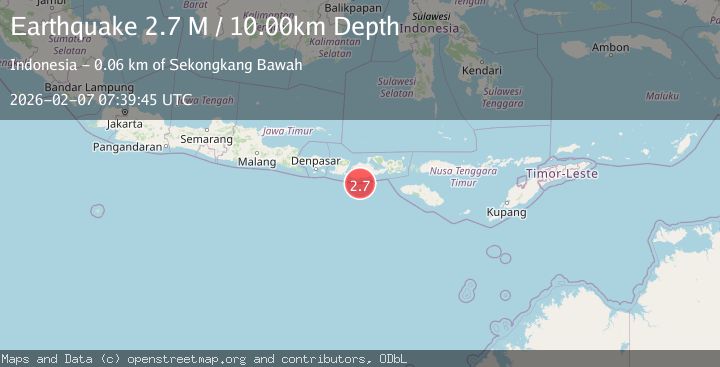
A 2.7 magnitude earthquake struck on Sumbawa Region, Indonesia, at Sat, 07 Feb 2026 07:39:45 GMT. Depth: 10km. Reviewed by BMKG seismologists, this minor quake occurred at a magnitude type of M.
Magnitude
2.7
M
Source
BMKG
Intensity
-
Agency Reports
1 Sources| Source | Magnitude | Depth | Time |
|---|---|---|---|
| BMKGPrimary | 2.7 | 10 km | 1 hour ago |
Earthquake Details
AutomaticEvent IDbmg2026cqeu
Tsunami PotentialNo
Magnitude TypeM
Nearest Places
- Tanjung Sarang Ode24.6 km
- Tanjung Batubongkang24.8 km
- Tanjung Talonan25.4 km
- Tanu Tanjunglilin25.5 km
- Teluk Momil26.0 km
Comments
Join the discussion about this event.
Latest Earthquakes
2.1Mag
20 km W of Anchor Point, Alaska
Time6 minutes ago
Depth66.90 km
SourceUSGS (Automatic)
2.4Mag
Northern Sumatra, Indonesia
Time8 minutes ago
Depth10.00 km
SourceBMKG (Automatic)
3.6Mag
OFF E. COAST OF N. ISLAND, N.Z.
Time9 minutes ago
Depth260.00 km
SourceGNS (Automatic)
1.3Mag
62 km ESE of Knik River, Alaska
Time14 minutes ago
Depth38.00 km
SourceUSGS (Automatic)
3.4Mag
Sumba Region, Indonesia
Time17 minutes ago
Depth19.73 km
SourceBMKG (Automatic)
Nearby Earthquakes
2.3Mag
Sumbawa Region, Indonesia
Time3 days ago
Depth32.94 km
SourceBMKG (Automatic)
2.3Mag
Sumbawa Region, Indonesia
Time1 week ago
Depth24.84 km
SourceBMKG (Automatic)
2.7Mag
Sumbawa Region, Indonesia
Time3 days ago
Depth31.43 km
SourceBMKG (Automatic)
2.3Mag
Sumbawa Region, Indonesia
Time6 days ago
Depth40.80 km
SourceBMKG (Automatic)
2.1Mag
Sumbawa Region, Indonesia
Time2 days ago
Depth20.26 km
SourceBMKG (Automatic)