Earthquake Northern Molucca Sea
Sat, 07 Feb 2026 21:46:11 GMT
Time1 hour ago
Location
0.9861, 126.8999
Depth
12.5 KM
Event Summary
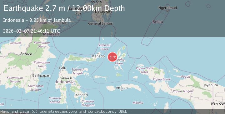
A 2.7 magnitude earthquake struck on Northern Molucca Sea, at Sat, 07 Feb 2026 21:46:11 GMT. Depth: 12.481585km. Reviewed by BMKG seismologists, this minor quake occurred at a magnitude type of M.
Magnitude
2.7
M
Source
BMKG
Intensity
-
Agency Reports
1 Sources| Source | Magnitude | Depth | Time |
|---|---|---|---|
| BMKGPrimary | 2.7 | 12 km | 1 hour ago |
Earthquake Details
AutomaticEvent IDbmg2026crgs
Tsunami PotentialNo
Magnitude TypeM
Nearest Places
- Tanjung Kao Cina45.9 km
- Kao Cina46.2 km
- Pulau Maka46.3 km
- Kelurahan Tomajiko46.6 km
- Kota Ternate46.7 km
Comments
Join the discussion about this event.
Latest Earthquakes
2.0Mag
2 km E of The Geysers, CA
Time5 minutes ago
Depth1.83 km
SourceUSGS (Automatic)
3.3Mag
Southern Sumatra, Indonesia
Time12 minutes ago
Depth14.52 km
SourceBMKG (Automatic)
2.6Mag
BALI REGION, INDONESIA
Time13 minutes ago
Depth178.00 km
SourceBMKG (Automatic)
2.4Mag
Flores Region, Indonesia
Time14 minutes ago
Depth144.68 km
SourceBMKG (Automatic)
3.0Mag
MINDANAO, PHILIPPINES
Time25 minutes ago
Depth20.00 km
SourcePIVS (Automatic)
Nearby Earthquakes
2.7Mag
Northern Molucca Sea
Time6 days ago
Depth17.02 km
SourceBMKG (Automatic)
2.9Mag
Northern Molucca Sea
Time4 days ago
Depth16.88 km
SourceBMKG (Automatic)
2.9Mag
Northern Molucca Sea
Time1 week ago
Depth15.50 km
SourceBMKG (Automatic)
2.6Mag
Northern Molucca Sea
Time2 weeks ago
Depth61.16 km
SourceBMKG (Automatic)
3.1Mag
Northern Molucca Sea
Time1 week ago
Depth27.94 km
SourceBMKG (Automatic)