Earthquake SOUTHERN ALASKA
Sun, 18 Jan 2026 02:45:01 GMT
Time2 hours ago
Location
61.9317, -150.9173
Depth
65.0 KM
Event Summary
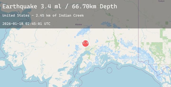
A 4.2 magnitude earthquake struck on SOUTHERN ALASKA, at Sun, 18 Jan 2026 02:45:01 GMT. Depth: 65km. Reviewed by NEIC seismologists, this light quake occurred at a magnitude type of ml.
Magnitude
4.2
ml
Source
NEIC
Intensity
-
Agency Reports
2 Sources| Source | Magnitude | Depth | Time |
|---|---|---|---|
| NEICPrimary | 4.2 | 65 km | 2 hours ago |
| USGS | 4.2 | 66 km | 2 hours ago |
Earthquake Details
AutomaticEvent IDemsc_20260118_0000038
Tsunami PotentialNo
Magnitude Typeml
Nearest Places
- Bulchitna Lake0.9 km
- Ch'atanil'ut1.6 km
- Fish Lake Creek2.4 km
- Hneh'itnu Kaq'2.8 km
- Lake Creek2.9 km
Comments
Join the discussion about this event.
Latest Earthquakes
1.7Mag
1 km WSW of Brawley, CA
Time2 hours ago
Depth9.35 km
SourceUSGS (Automatic)
2.2Mag
Flores Sea
Time2 hours ago
Depth10.00 km
SourceBMKG (Automatic)
2.9Mag
West Papua Region, Indonesia
Time2 hours ago
Depth10.00 km
SourceBMKG (Automatic)
2.4Mag
16 km SW of Nile, Washington
Time2 hours ago
Depth-1.27 km
SourceUSGS (Automatic)
2.6Mag
TARAPACA, CHILE
Time2 hours ago
Depth94.70 km
SourceCSN (Automatic)
Nearby Earthquakes
1.6Mag
10 km W of Houston, Alaska
Time6 hours ago
Depth29.10 km
SourceUSGS (Automatic)
3.5Mag
SOUTHERN ALASKA
Time10 hours ago
Depth85.70 km
SourceNEIC (Automatic)
1.8Mag
31 km NNE of Skwentna, Alaska
Time17 hours ago
Depth68.10 km
SourceUSGS (Automatic)
1.7Mag
23 km W of Skwentna, Alaska
Time18 hours ago
Depth93.90 km
SourceUSGS (Automatic)
2.7Mag
1 km SE of Point MacKenzie, Alaska
Time23 hours ago
Depth22.90 km
SourceUSGS (Automatic)