Earthquake EASTERN NEW GUINEA REG., P.N.G.
Tue, 03 Feb 2026 21:24:31 GMT
Time17 hours ago
Location
-6.0710, 146.6180
Depth
66.7 KM
Event Summary
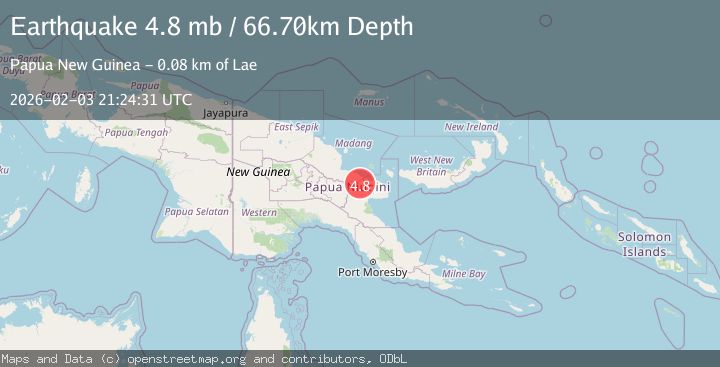
A 4.8 magnitude earthquake struck on EASTERN NEW GUINEA REG., P.N.G., at Tue, 03 Feb 2026 21:24:31 GMT. Depth: 66.7km. Reviewed by GFZ seismologists, this light quake occurred at a magnitude type of mb.
Magnitude
4.8
mb
Source
GFZ
Intensity
-
Agency Reports
1 Sources| Source | Magnitude | Depth | Time |
|---|---|---|---|
| GFZPrimary | 4.8 | 67 km | 17 hours ago |
Earthquake Details
AutomaticEvent IDemsc_GFZ_20260203_0000307
Tsunami PotentialNo
Magnitude Typemb
Comments
Join the discussion about this event.
Latest Earthquakes
3.2Mag
Sulawesi, Indonesia
Time17 hours ago
Depth3.95 km
SourceBMKG (Automatic)
1.4Mag
9 km NE of San Diego Country Estates, CA
Time17 hours ago
Depth10.97 km
SourceUSGS (Automatic)
1.8Mag
21 km NNE of Indio, CA
Time17 hours ago
Depth5.49 km
SourceUSGS (Automatic)
2.3Mag
Southern Sumatra, Indonesia
Time17 hours ago
Depth13.05 km
SourceBMKG (Automatic)
1.7Mag
22 km N of Ridgecrest, CA
Time17 hours ago
Depth7.95 km
SourceUSGS (Automatic)
Nearby Earthquakes
5.2Mag
Papua New Guinea Region
Time19 hours ago
Depth90.74 km
SourceBMKG (Automatic)
5.9Mag
23 km ESE of Madang, Papua New Guinea
Time2 weeks ago
Depth89.96 km
SourceUSGS
4.8Mag
EASTERN NEW GUINEA REG., P.N.G.
Time6 days ago
Depth87.50 km
SourceGFZ (Automatic)
5.8Mag
New Guinea, Papua New Guinea
Time1 week ago
Depth122.44 km
SourceBMKG (Automatic)
4.6Mag
54 km SSW of Mendi, Papua New Guinea
Time1 week ago
Depth10.08 km
SourceUSGS