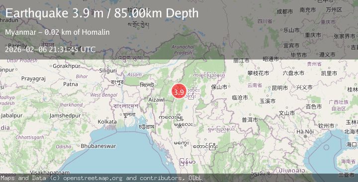
Earthquake MYANMAR-INDIA BORDER REGION
Fri, 06 Feb 2026 21:31:45 GMT
Time1 hour ago
Location
24.7600, 94.7400
Depth
85.0 KM
Event Summary
A 3.9 magnitude earthquake struck on MYANMAR-INDIA BORDER REGION, at Fri, 06 Feb 2026 21:31:45 GMT. Depth: 85km. Reviewed by NDI seismologists, this minor quake occurred at a magnitude type of m.
Magnitude
3.9
m
Source
NDI
Intensity
-
Agency Reports
1 Sources| Source | Magnitude | Depth | Time |
|---|---|---|---|
| NDIPrimary | 3.9 | 85 km | 1 hour ago |
Earthquake Details
AutomaticEvent IDemsc_NDI_20260206_0000368
Tsunami PotentialNo
Magnitude Typem
Nearest Places
- Tilawng Chaung1.7 km
- Tilawng2.5 km
- Nam Panga2.9 km
- Panmatet Taung3.8 km
- Nam Tethan3.8 km
Comments
Join the discussion about this event.
Latest Earthquakes
1.6Mag
48 km WNW of Anchor Point, Alaska
Time3 minutes ago
Depth100.10 km
SourceUSGS (Automatic)
1.6Mag
36 km NE of Crane, Texas
Time8 minutes ago
Depth3.47 km
SourceUSGS (Automatic)
3.2Mag
ANTOFAGASTA, CHILE
Time10 minutes ago
Depth238.70 km
SourceCSN (Automatic)
2.7Mag
Seram, Indonesia
Time12 minutes ago
Depth34.16 km
SourceBMKG (Automatic)
3.9Mag
Tanimbar Islands Region, Indonesia
Time19 minutes ago
Depth137.60 km
SourceBMKG (Automatic)
Nearby Earthquakes
4.2Mag
MYANMAR-INDIA BORDER REGION
Time1 week ago
Depth105.50 km
SourceNDI (Automatic)
2.9Mag
MYANMAR-INDIA BORDER REGION
Time7 hours ago
Depth32.00 km
SourceNDI (Automatic)
4.0Mag
MYANMAR-INDIA BORDER REGION
Time2 weeks ago
Depth90.00 km
SourceNDI (Automatic)
4.4Mag
MANIPUR, INDIA REGION
Time2 weeks ago
Depth10.00 km
SourceNDI (Automatic)
5.2Mag
MYANMAR
Time22 hours ago
Depth10.00 km
SourceGFZ (Automatic)