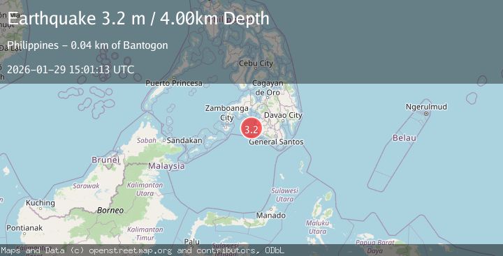
Earthquake MORO GULF, MINDANAO, PHILIPPINES
Thu, 29 Jan 2026 15:01:13 GMT
Time3 hours ago
Location
6.5800, 123.6400
Depth
4.0 KM
Event Summary
A 3.2 magnitude earthquake struck on MORO GULF, MINDANAO, PHILIPPINES, at Thu, 29 Jan 2026 15:01:13 GMT. Depth: 4km. Reviewed by PIVS seismologists, this minor quake occurred at a magnitude type of m.
Magnitude
3.2
m
Source
PIVS
Intensity
-
Agency Reports
1 Sources| Source | Magnitude | Depth | Time |
|---|---|---|---|
| PIVSPrimary | 3.2 | 4 km | 3 hours ago |
Earthquake Details
AutomaticEvent IDemsc_PIVS_20260129_0000210
Tsunami PotentialNo
Magnitude Typem
Nearest Places
- Donaung Shoals38.7 km
- Huidobro Reef38.9 km
- Linao Point42.3 km
- Nara Point42.4 km
- Salpa Point42.6 km
Comments
Join the discussion about this event.
Latest Earthquakes
2.7Mag
Northern Sumatra, Indonesia
Time3 hours ago
Depth4.82 km
SourceBMKG (Automatic)
2.9Mag
Timor Region
Time3 hours ago
Depth116.16 km
SourceBMKG (Automatic)
1.8Mag
6 km NNW of Dibble, Oklahoma
Time3 hours ago
Depth2.52 km
SourceUSGS (Automatic)
4.4Mag
Northern Sumatra, Indonesia
Time3 hours ago
Depth10.00 km
SourceBMKG (Automatic)
2.2Mag
Sulawesi, Indonesia
Time4 hours ago
Depth5.69 km
SourceBMKG (Automatic)
Nearby Earthquakes
3.7Mag
MORO GULF, MINDANAO, PHILIPPINES
Time21 hours ago
Depth2.00 km
SourcePIVS (Automatic)
5.1Mag
MORO GULF, MINDANAO, PHILIPPINES
Time1 day ago
Depth1.00 km
SourcePIVS (Automatic)
5.1Mag
MORO GULF, MINDANAO, PHILIPPINES
Time1 day ago
Depth7.00 km
SourcePIVS (Automatic)
4.4Mag
MORO GULF, MINDANAO, PHILIPPINES
Time1 day ago
Depth4.00 km
SourcePIVS (Automatic)
5.0Mag
MORO GULF, MINDANAO, PHILIPPINES
Time19 hours ago
Depth15.00 km
SourcePIVS (Automatic)