Earthquake 22 km S of Simmler, CA
Wed, 04 Feb 2026 01:21:41 GMT
Time13 hours ago
Location
35.1580, -120.0237
Depth
7.9 KM
Event Summary
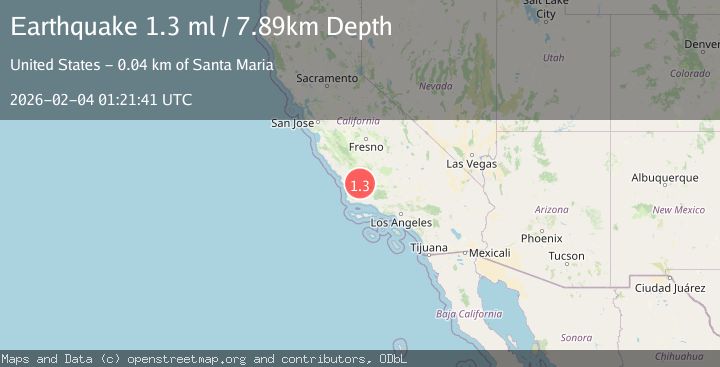
A 1.3 magnitude earthquake struck on 22 km S of Simmler, CA, at Wed, 04 Feb 2026 01:21:41 GMT. Depth: 7.89km. Reviewed by USGS seismologists, this minor quake occurred at a magnitude type of ml.
Magnitude
1.3
ml
Source
USGS
Intensity
-
Agency Reports
1 Sources| Source | Magnitude | Depth | Time |
|---|---|---|---|
| USGSPrimary | 1.3 | 8 km | 13 hours ago |
Earthquake Details
AutomaticEvent IDusgs_ci41391320
Tsunami PotentialNo
Magnitude Typeml
Nearest Places
- Taylor Well1.0 km
- Gillam Spring1.8 km
- Sulphur Spring2.4 km
- Tajea Spring2.5 km
- Tajea Flat3.1 km
Comments
Join the discussion about this event.
Latest Earthquakes
0.6Mag
SWITZERLAND
Time8 hours ago
Depth1.60 km
SourceETHZ (Automatic)
2.5Mag
Sumba Region, Indonesia
Time9 hours ago
Depth61.17 km
SourceBMKG (Automatic)
1.9Mag
4 km SE of San Ramon, CA
Time9 hours ago
Depth8.44 km
SourceUSGS (Automatic)
3.0Mag
WESTERN AUSTRALIA
Time9 hours ago
Depth10.00 km
SourceAUST (Automatic)
3.5Mag
SOUTH ISLAND OF NEW ZEALAND
Time9 hours ago
Depth36.80 km
SourceGNS (Automatic)
Nearby Earthquakes
1.1Mag
30 km NE of Los Alamos, CA
Time1 week ago
Depth4.17 km
SourceUSGS (Automatic)
1.3Mag
25 km WSW of Maricopa, CA
Time1 week ago
Depth2.92 km
SourceUSGS (Automatic)
1.7Mag
8 km ESE of Atascadero, CA
Time1 day ago
Depth4.59 km
SourceUSGS (Automatic)
1.6Mag
15 km ESE of Maricopa, CA
Time1 week ago
Depth0.42 km
SourceUSGS (Automatic)
1.2Mag
6 km ESE of San Miguel, CA
Time3 days ago
Depth8.98 km
SourceUSGS (Automatic)