Earthquake 4 km ESE of San Ramon, CA
Sat, 07 Feb 2026 20:25:48 GMT
Time1 hour ago
Location
37.7688, -121.9352
Depth
5.3 KM
Event Summary
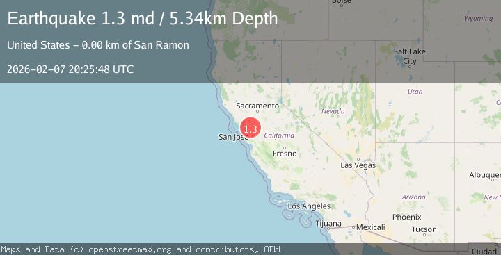
A 1.3 magnitude earthquake struck on 4 km ESE of San Ramon, CA, at Sat, 07 Feb 2026 20:25:48 GMT. Depth: 5.34000015258789km. Reviewed by USGS seismologists, this minor quake occurred at a magnitude type of md.
Magnitude
1.3
md
Source
USGS
Intensity
-
Agency Reports
1 Sources| Source | Magnitude | Depth | Time |
|---|---|---|---|
| USGSPrimary | 1.3 | 5 km | 1 hour ago |
Earthquake Details
AutomaticEvent IDusgs_nc75310262
Tsunami PotentialNo
Magnitude Typemd
Nearest Places
- City of San Ramon0.7 km
- Canyon Lakes Golf Course1.0 km
- Oakwood San Ramon1.4 km
- The Marketplace Shopping Center1.6 km
- Watson Canyon1.6 km
Comments
Join the discussion about this event.
Latest Earthquakes
3.6Mag
OFF E. COAST OF N. ISLAND, N.Z.
Time6 minutes ago
Depth68.50 km
SourceGNS (Automatic)
2.0Mag
59 km WNW of Anchor Point, Alaska
Time20 minutes ago
Depth110.00 km
SourceUSGS (Automatic)
1.9Mag
10 km NW of Stockdale, Texas
Time24 minutes ago
Depth5.00 km
SourceUSGS (Automatic)
2.6Mag
South of Java, Indonesia
Time33 minutes ago
Depth10.00 km
SourceBMKG (Automatic)
2.0Mag
Flores Region, Indonesia
Time35 minutes ago
Depth21.31 km
SourceBMKG (Automatic)
Nearby Earthquakes
2.8Mag
SAN FRANCISCO BAY AREA, CALIF.
Time4 days ago
Depth7.70 km
SourceNC (Automatic)
1.8Mag
4 km ESE of San Ramon, CA
Time3 days ago
Depth4.41 km
SourceUSGS (Automatic)
2.2Mag
SAN FRANCISCO BAY AREA, CALIF.
Time3 days ago
Depth3.70 km
SourceNC (Automatic)
1.6Mag
4 km ESE of San Ramon, CA
Time1 week ago
Depth7.46 km
SourceUSGS (Automatic)
2.5Mag
4 km ESE of San Ramon, CA
Time5 days ago
Depth6.42 km
SourceUSGS (Automatic)