Earthquake 36 km NNE of Larsen Bay, Alaska
Sat, 07 Feb 2026 16:58:34 GMT
Time1 hour ago
Location
57.8530, -153.7980
Depth
26.1 KM
Event Summary
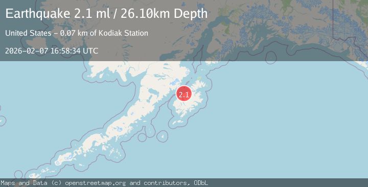
A 2.1 magnitude earthquake struck on 36 km NNE of Larsen Bay, Alaska, at Sat, 07 Feb 2026 16:58:34 GMT. Depth: 26.1km. Reviewed by USGS seismologists, this minor quake occurred at a magnitude type of ml.
Magnitude
2.1
ml
Source
USGS
Intensity
-
Agency Reports
1 Sources| Source | Magnitude | Depth | Time |
|---|---|---|---|
| USGSPrimary | 2.1 | 26 km | 1 hour ago |
Earthquake Details
AutomaticEvent IDusgs_ak2026crfqjw
Tsunami PotentialNo
Magnitude Typeml
Nearest Places
- Cape Ugat3.5 km
- Little River3.9 km
- Twocone Point6.2 km
- Miners Point6.7 km
- Montana Creek7.8 km
Comments
Join the discussion about this event.
Latest Earthquakes
2.6Mag
Northern Sumatra, Indonesia
Time4 minutes ago
Depth4.12 km
SourceBMKG (Automatic)
1.7Mag
41 km W of Anchor Point, Alaska
Time5 minutes ago
Depth94.30 km
SourceUSGS (Automatic)
3.1Mag
Northern Molucca Sea
Time8 minutes ago
Depth10.00 km
SourceBMKG (Automatic)
1.4Mag
87 km WNW of Karluk, Alaska
Time20 minutes ago
Depth4.80 km
SourceUSGS (Automatic)
3.2Mag
PHILIPPINE ISLANDS REGION
Time27 minutes ago
Depth27.00 km
SourcePIVS (Automatic)
Nearby Earthquakes
2.3Mag
60 km NNE of Karluk, Alaska
Time1 week ago
Depth75.30 km
SourceUSGS (Automatic)
1.7Mag
22 km N of Karluk, Alaska
Time2 weeks ago
Depth51.40 km
SourceUSGS (Automatic)
1.7Mag
56 km N of Karluk, Alaska
Time5 days ago
Depth74.20 km
SourceUSGS (Automatic)
1.9Mag
59 km N of Karluk, Alaska
Time4 days ago
Depth3.10 km
SourceUSGS (Automatic)
2.1Mag
19 km N of Karluk, Alaska
Time1 week ago
Depth56.00 km
SourceUSGS (Automatic)