Earthquake 62 km WNW of Tyonek, Alaska
Sat, 07 Feb 2026 20:32:35 GMT
Time1 hour ago
Location
61.2210, -152.2560
Depth
8.9 KM
Event Summary
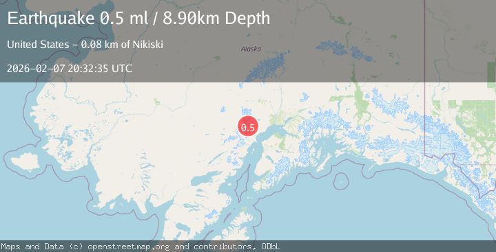
A 0.5 magnitude earthquake struck on 62 km WNW of Tyonek, Alaska, at Sat, 07 Feb 2026 20:32:35 GMT. Depth: 8.9km. Reviewed by USGS seismologists, this minor quake occurred at a magnitude type of ml.
Magnitude
0.5
ml
Source
USGS
Intensity
-
Agency Reports
1 Sources| Source | Magnitude | Depth | Time |
|---|---|---|---|
| USGSPrimary | 0.5 | 9 km | 1 hour ago |
Earthquake Details
AutomaticEvent IDusgs_ak2026crmssm
Tsunami PotentialNo
Magnitude Typeml
Nearest Places
- Crater Glacier3.0 km
- Crater Peak5.5 km
- K’idazq’eni Glacier7.3 km
- Aleutian Range7.3 km
- Mount Spurr8.8 km
Comments
Join the discussion about this event.
Latest Earthquakes
2.4Mag
98 km N of Karluk, Alaska
Time5 minutes ago
Depth2.90 km
SourceUSGS (Automatic)
2.1Mag
Northern Sumatra, Indonesia
Time6 minutes ago
Depth3.00 km
SourceBMKG (Automatic)
2.7Mag
Northern Molucca Sea
Time8 minutes ago
Depth12.48 km
SourceBMKG (Automatic)
2.2Mag
Flores Region, Indonesia
Time12 minutes ago
Depth52.78 km
SourceBMKG (Automatic)
2.1Mag
Sumba Region, Indonesia
Time13 minutes ago
Depth20.08 km
SourceBMKG (Automatic)
Nearby Earthquakes
1.8Mag
66 km WNW of Tyonek, Alaska
Time2 weeks ago
Depth13.70 km
SourceUSGS (Automatic)
3.1Mag
SOUTHERN ALASKA
Time2 weeks ago
Depth5.00 km
SourceAK (Automatic)
0.8Mag
57 km WNW of Tyonek, Alaska
Time2 weeks ago
Depth115.90 km
SourceUSGS (Automatic)
2.2Mag
56 km W of Tyonek, Alaska
Time2 weeks ago
Depth110.90 km
SourceUSGS (Automatic)
0.7Mag
70 km WNW of Tyonek, Alaska
Time3 days ago
Depth4.00 km
SourceUSGS (Automatic)